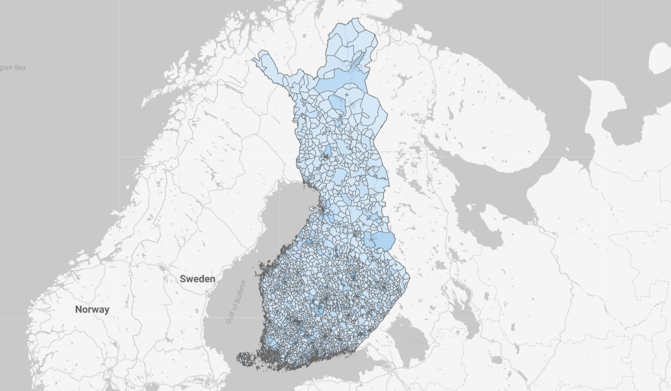
Data for all postal codes in Finland free of charge enriched by area boundaries as standard coordinates.
Additionally includes the original variables from Statistics Finland’s open dataset.
Download Finland’s postal code data
| File | Where to use |
|---|---|
| Data and boundary polygons as CSV | All data. Power BI. Polygons directly compatible with BigQuery and Google Looker Studio. |
| Data and boundary polygons as JSON | Same data than in CSV |
| Boundary polygons as TopoJSON | Power BI Shape Map custom map definition |
| Boundary polygons as GeoJSON | Python |
The largest file size is 23 MB. It should download in seconds.
The boundaries of municipalities also available: Municipality boundary polygons as CSV . You can try conversion with these tools to TopoJSON or GeoJSON .

Visualizing postal codes on a map in reporting tools
- Finland postal codes on a map in Google Looker Studio
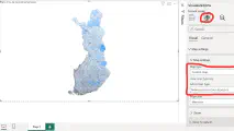
- Finland postal codes on a map in Power BI
- Finland postal codes on a map in Python
Commercial potential from postal code data
Postal codes provide a great medium to produce relatively accurate demographic analysis. Visual map-based presentation provides huge amount of information in a single glance. Compare this to a black and white Excel table.
Here are some ideas to get business value from the postal code data:
- Visualizing market potential by postal codes
- Shop investment potential in different regions
- Reporting the most productive customer groups in a map
Why to use postal code data from this site?
A data developer gets these benefits from the enriched datasets:
- You want to visualize numbers in a map view
- Compiling the Statistics Finland’s data seems difficult
- You need the boundaries of the postcode areas in longitude and latitude
- You need the centroids of the zip code areas in longitude and latitude
- Representation of postal code areas in the software product
How does the data differ from Statistics Finland’s open material?
Statistics Finland’s material contains figures by postal code area on these topics:
- Population structure
- Level of education
- Disposable income
- Household size and life stage
- Buildings and apartments
- Jobs by industry
- Residents’ main activity
Statistics Finland’s material is difficult to find and compile, according to many. In addition, the map points are expressed in ETRS-TM35FIN format that most modern business reporting software does not support.
Summary of the information added to the further processed material for each zip code area:
- The name of the municipality
- Postal code boundaries as multi polygons
- The centroid of the postal code area
The conversion of Statistics Finland’s coordinate and polygon format into longitude and latitude circles requires programming skills. The work takes even an experienced creator hours.
Simply compiling the data into a single file can prove to be time-consuming.
Data of the boundaries of postal code areas
Postal code boundaries are expressed in MultiPolygon format in this sellable dataset.
In practice, this means that each postcode area is represented by one or more polygons. For example, the postal code area of Naantali, located in the archipelago, consists of nine separate areas.
The coordinates are as latitude and longitude in the standard geographic coordinate system. Longitudes between -180 and 180 and latitudes between 0 and 90 for both south and north.
Postal code dataset metadata
You can find the original descriptions of Statistics Finland’s variables here .
Here is the list of added variables:
| Column | Explanation |
|---|---|
| multi_polygon | Postal code area boundaries in MultiPolygon format as standard map coordinates. |
| longitude | The x-coordinate of the center of the postal code area in degrees. |
| latitude | The y-coordinate of the center of the postal code area in degrees. |
| kuntanimi | The municipality name in which most of the buildings in the postcode area are located. For example, Tampere or Jyväskylä. The original data only has the municipality code, eg 837 or 179. |
The data includes all 3026 postal code areas in Finland from 310 municipalities. There are 8088 separate polygons, so on average almost 3 per postal code area. This is explained mainly by the scattered Turku archipelago.
Polygons are defined with a total of 725 661 coordinate points. On average, one polygon therefore consists of about 90 coordinate points.
Usage rights of the postal code data
The original postal code data and municipality codes have been downloaded from Statistics Finland’s interface service on 20 April 2023 under the license CC BY 4.0 .


Write a new comment
The name will be visible. Email will not be published. More about privacy.